Survtech Geomatics Land Surveyors in Nairobi, Kenya
“Precision and Accuracy”
Registered and practicing Land, GIS and Engineering Surveyors offering precise and accurate land survey services across Kenya, from land due diligence and subdivision to boundary re-establishment and topographic data.
SURVTECH GEOMATICS LTD
“PRECISION AND ACCURACY”
Incorporated in 2020, SURVTECH GEOMATICS LTD is a Kenyan consultancy firm of Registered and Practicing Land, GIS and Engineering Surveyors, with over 12 years of skilled practice using advanced Geoinformation skills applying various hardware & software in Land & Utilities (Roads, Water & Electricity) and the built environment (Architectural & Built environments).
At Survtech Geomatics, we take pride in offering top-tier land surveying services that are tailored to meet your specific needs. With years of experience and a team of dedicated professionals, we are your trusted partners in land surveying. More about us →
- Land due diligence before you buy
- Land subdivision and amalgamation
- Land boundaries re-establishment (both general and fixed)
- Accurate topographic data for design and construction
Highlight of Products & Services
Whether you're embarking on land due diligence, land subdivision, land boundaries re-establishment or need accurate topographic data, we've got you covered.
Land Survey
Registered land surveyors in Kenya for subdivision, boundary re-establishment, due diligence and title-related surveys.
Land surveyors in Kenya →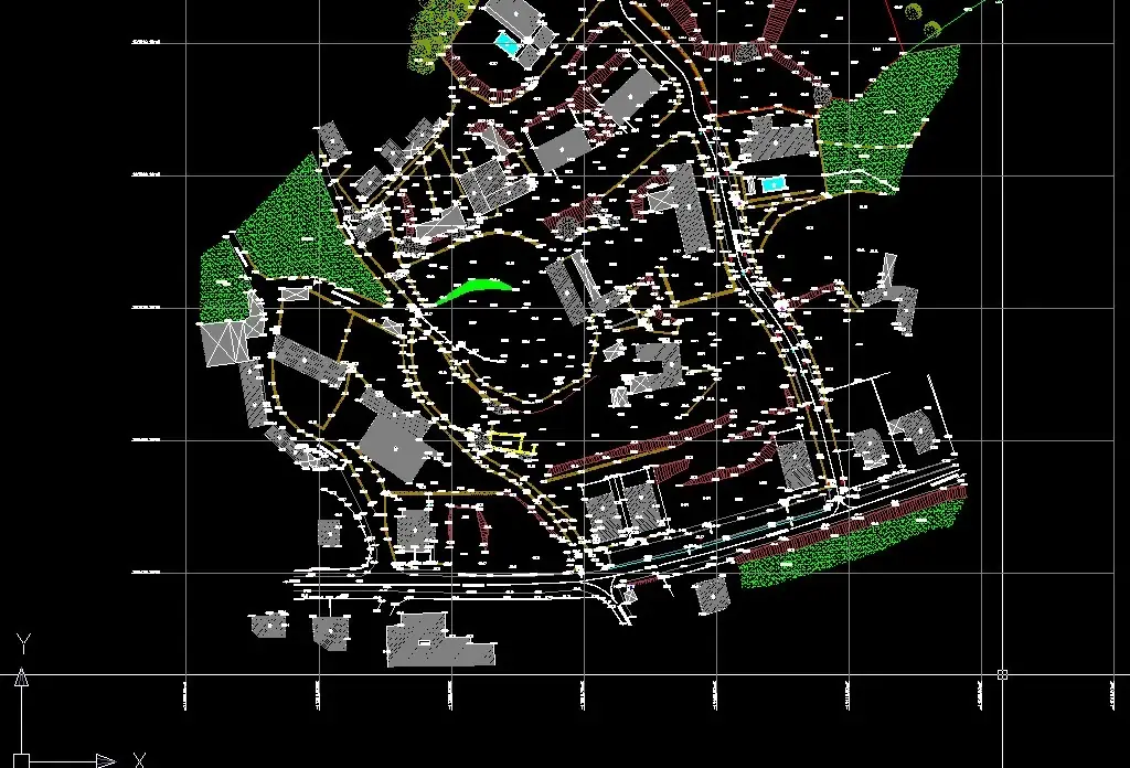
Topographical Survey
Detailed ground levels, contours and features captured for architects, engineers and developers.
Topographical surveyors in Kenya →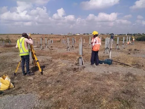
Engineering Survey
Setting out and control for roads, water and electricity utilities and the built environment.
Engineering surveyors in Kenya →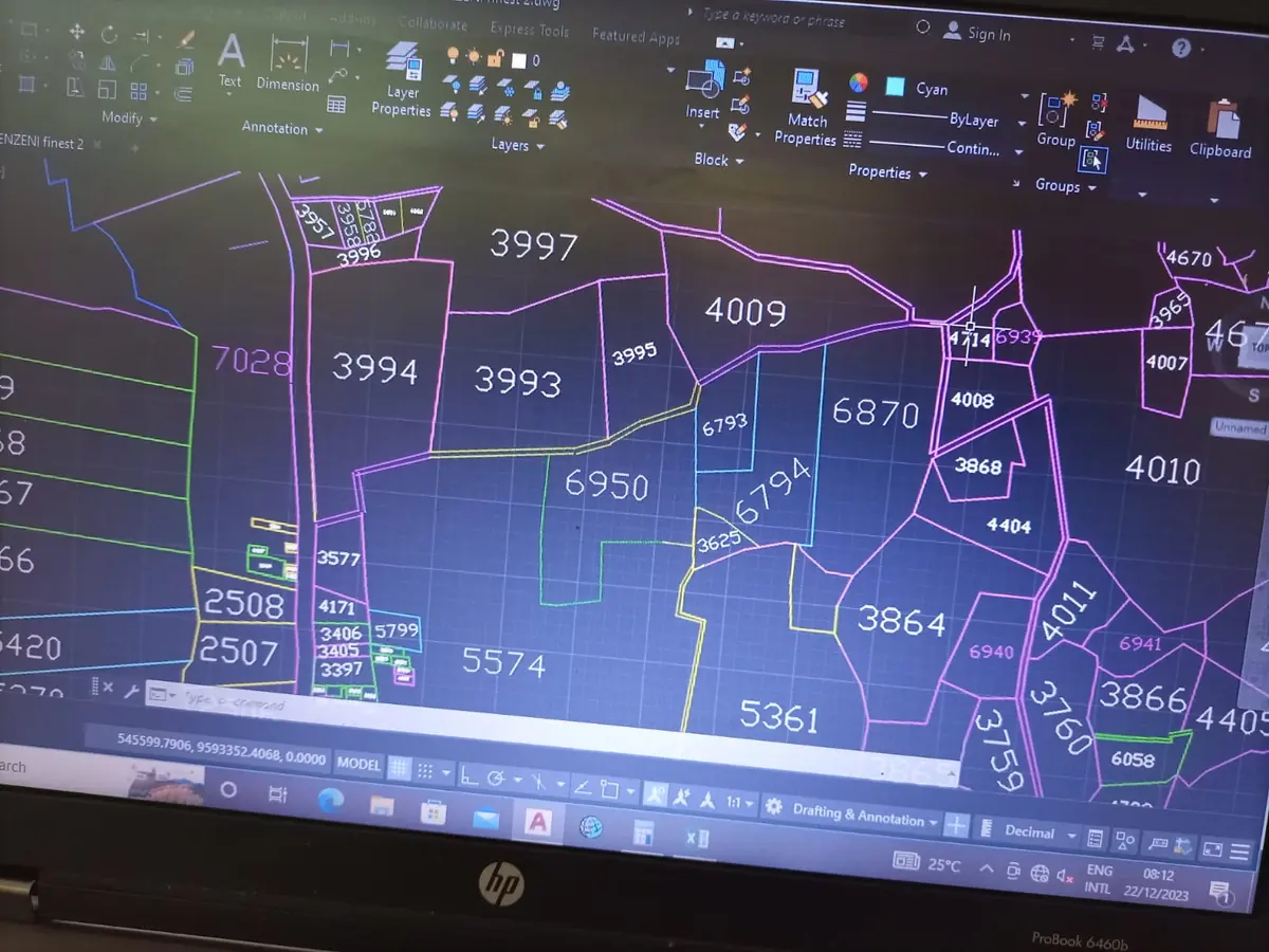
GIS Survey & Mapping
Geospatial data capture, analysis and mapping consultancy using modern geoinformation tools.
GIS companies in Kenya →
Sectional Properties Survey
Sectional plans for apartments, flats and gated developments, enabling individual unit titles.
Sectional properties surveyors →Modern survey technology, in the field
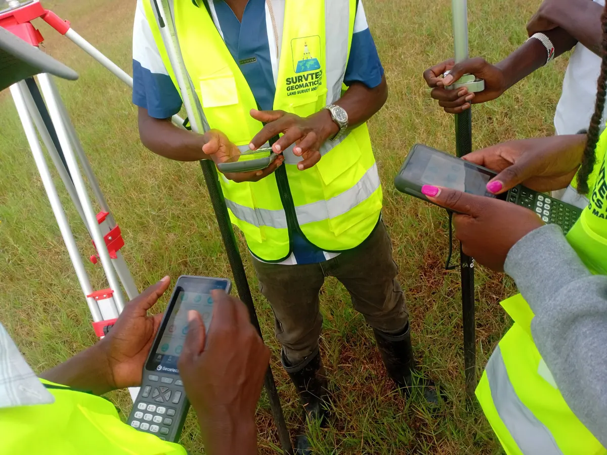
Advanced hardware and software let our surveyors deliver precise, accurate data on every job.
- GNSS RTK receiversCentimetre-level positioning for boundaries, control and topographic surveys.
- Total stationsPrecise angle and distance measurement for setting out and detail surveys.
- UAV / drone mappingAerial data capture for mapping large sites quickly.
- CAD & GIS softwareSurvey plans, subdivision schemes and geospatial analysis.
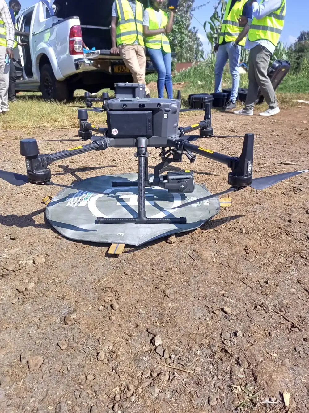
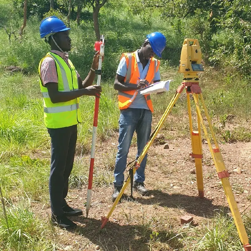
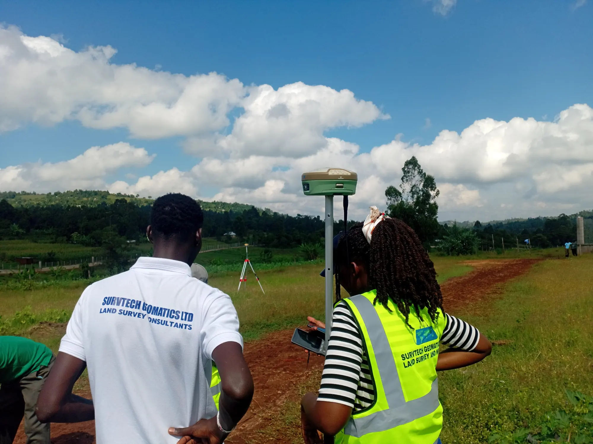
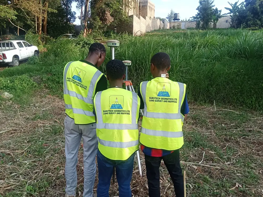
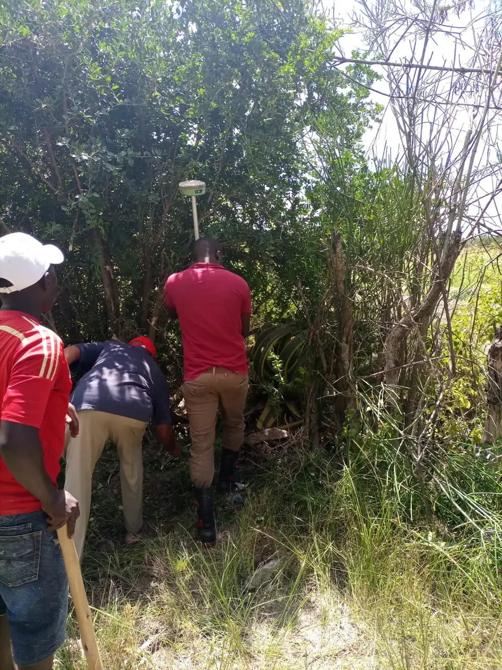
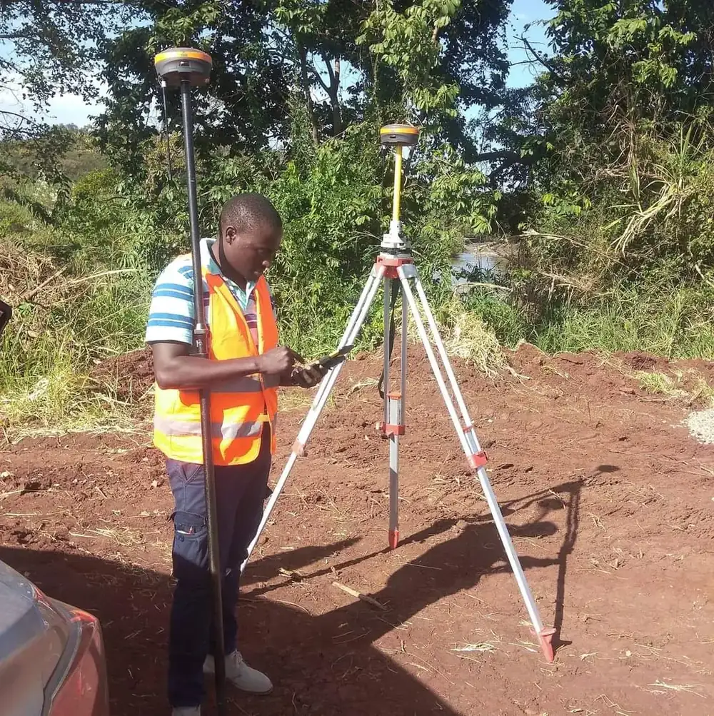
Surveying Work in the Field
Land, topographical, engineering, sectional and GIS survey work across Kenya. See all projects →
Land survey team
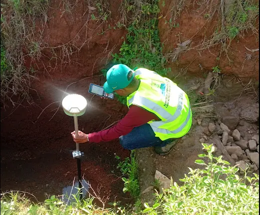 Beacon search
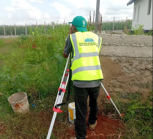 Boundary survey
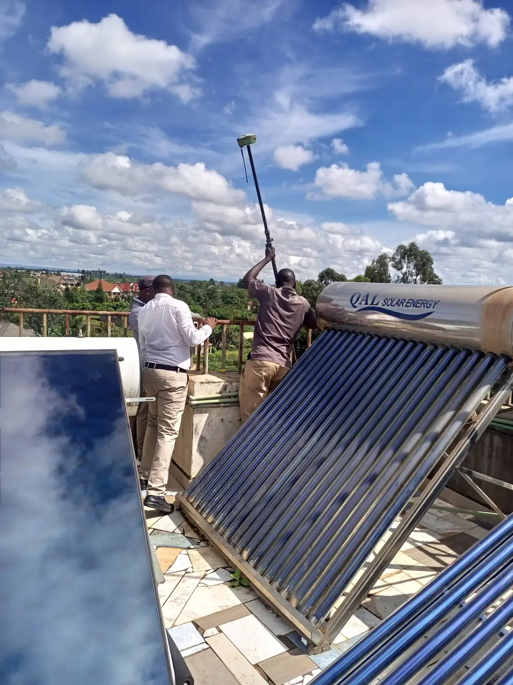 Rooftop survey
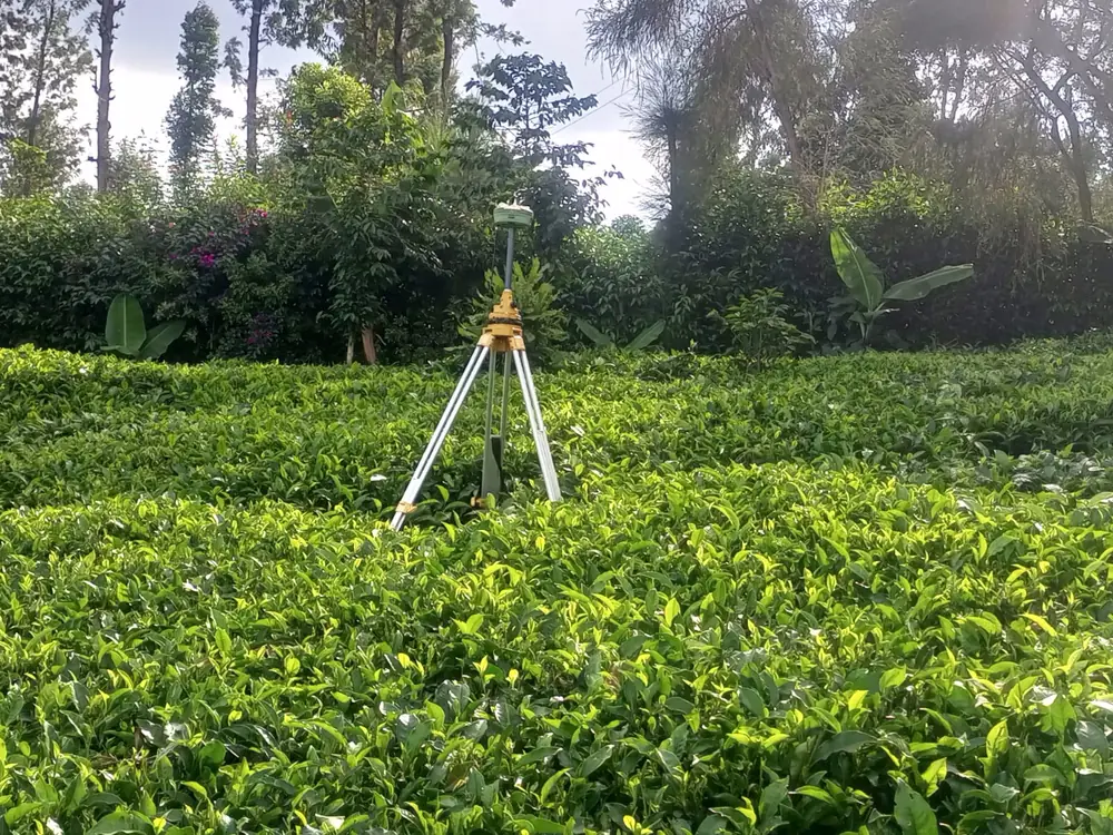 Tea farm survey
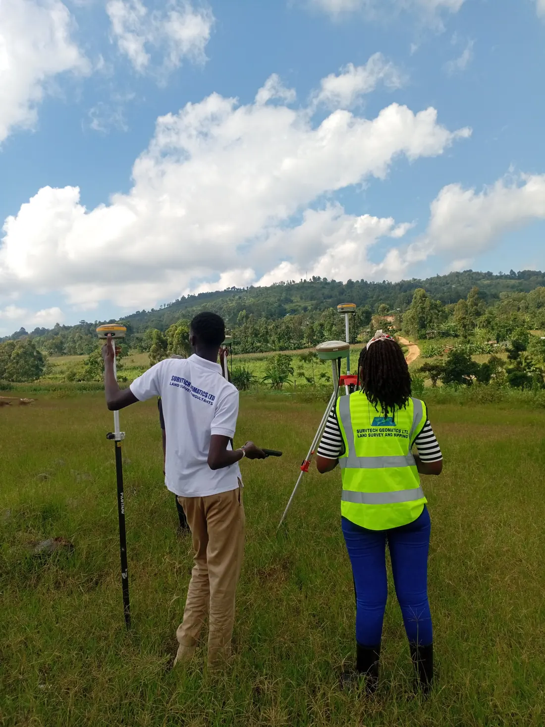 Control survey
 Sectional title issued
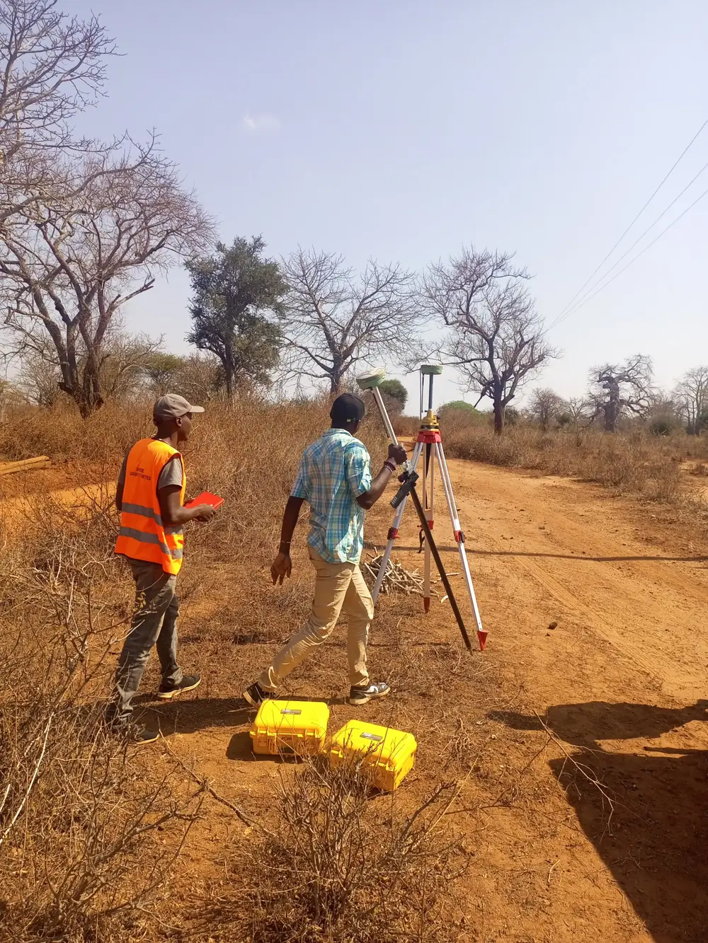 Road reserve survey
Detail survey
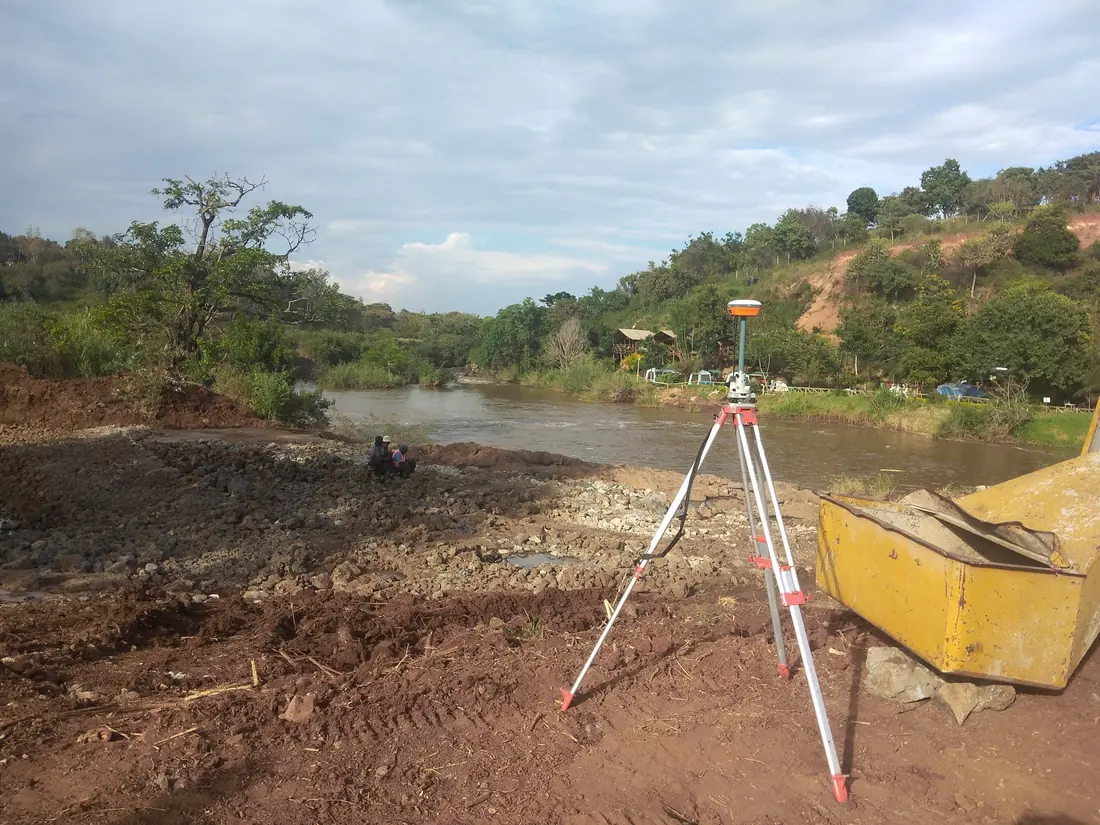 River topo survey
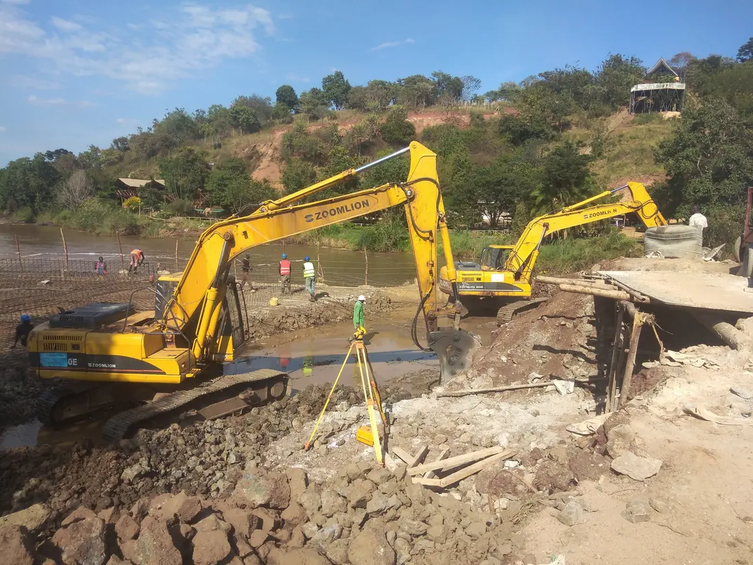 River works
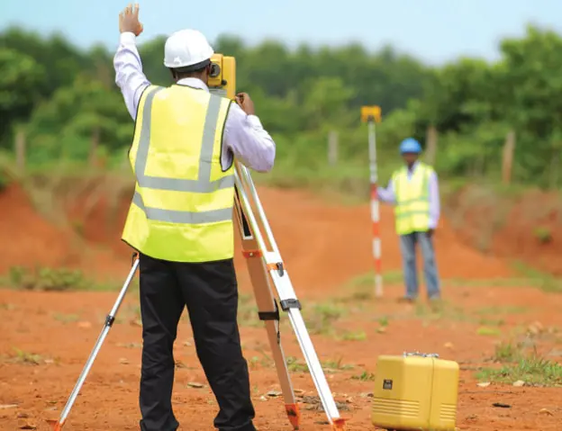 Total station survey
Drone mapping
Topo plan
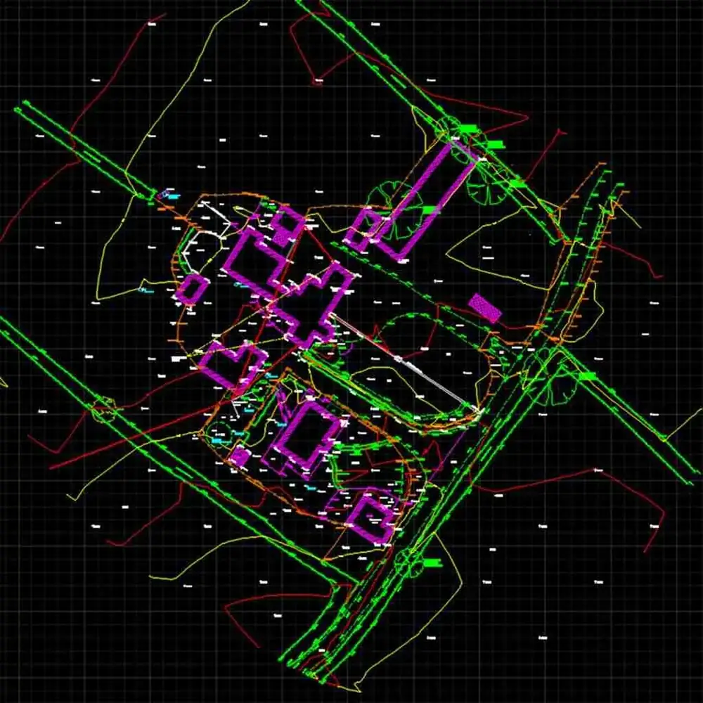 Topo drawing
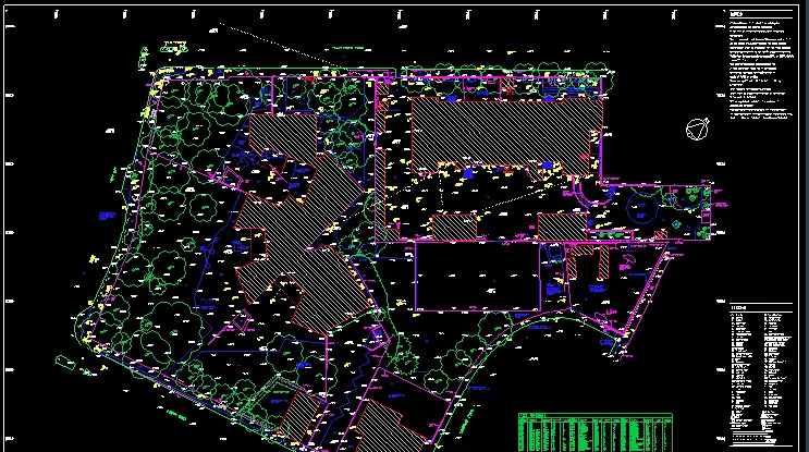 Site topo plan
Subdivision plan
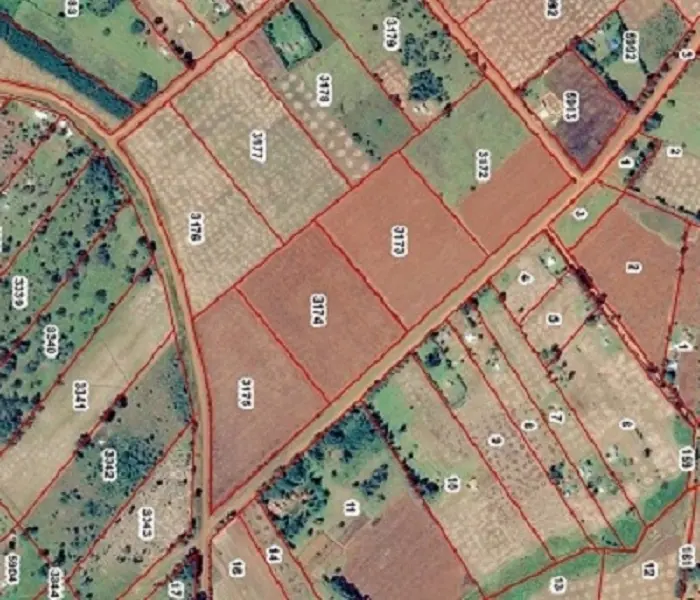 Cadastral GIS
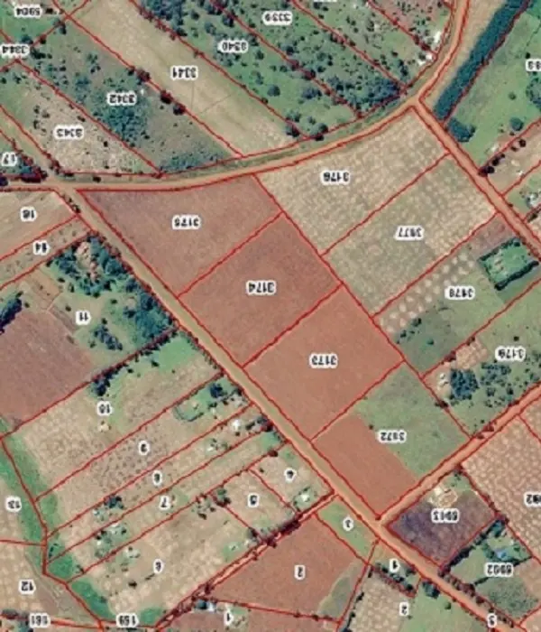 Parcel mapping
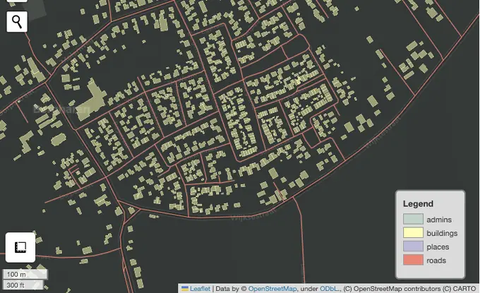 Web GIS
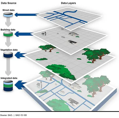 GIS data layers
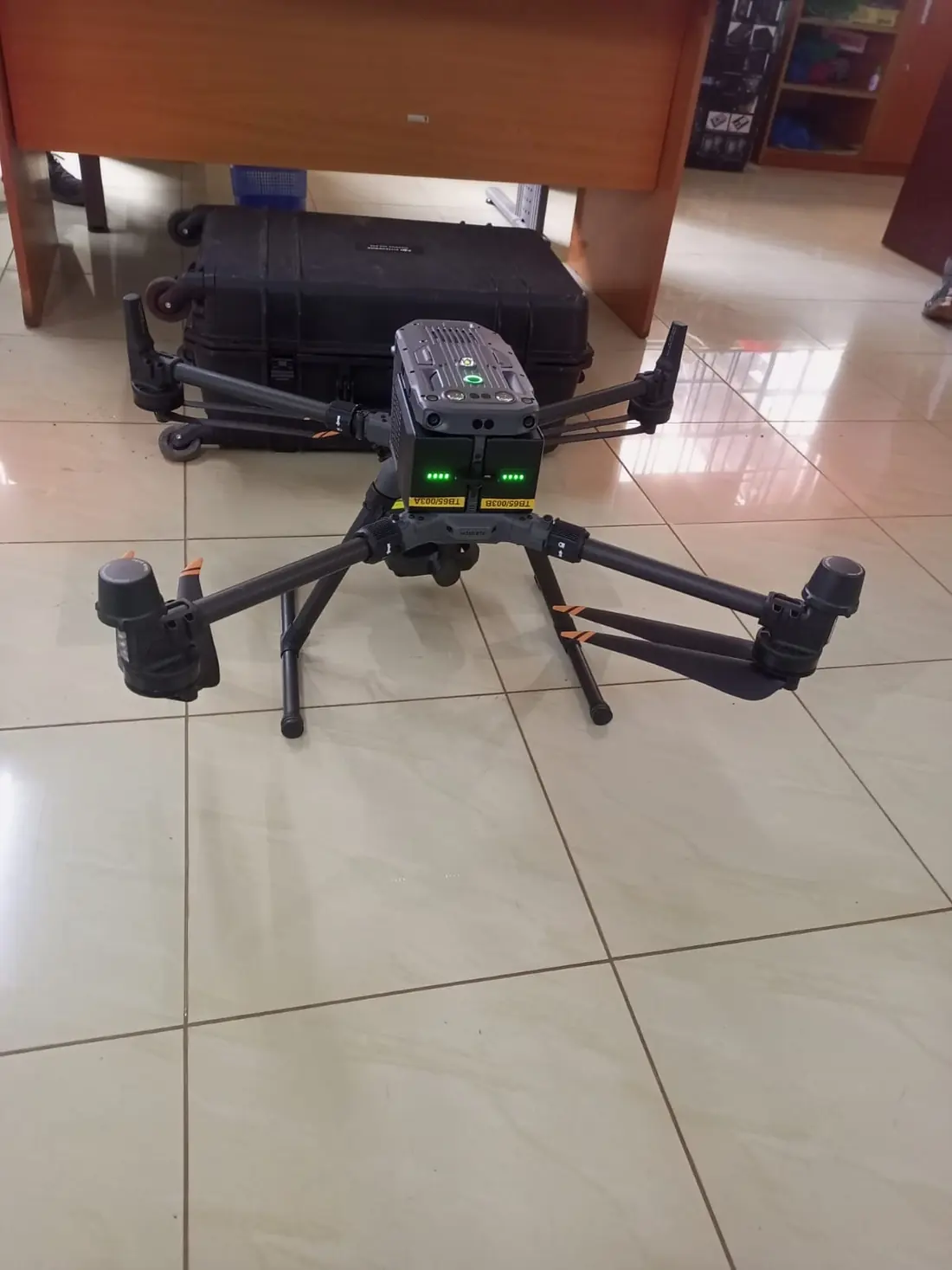 UAV
 Aerial survey
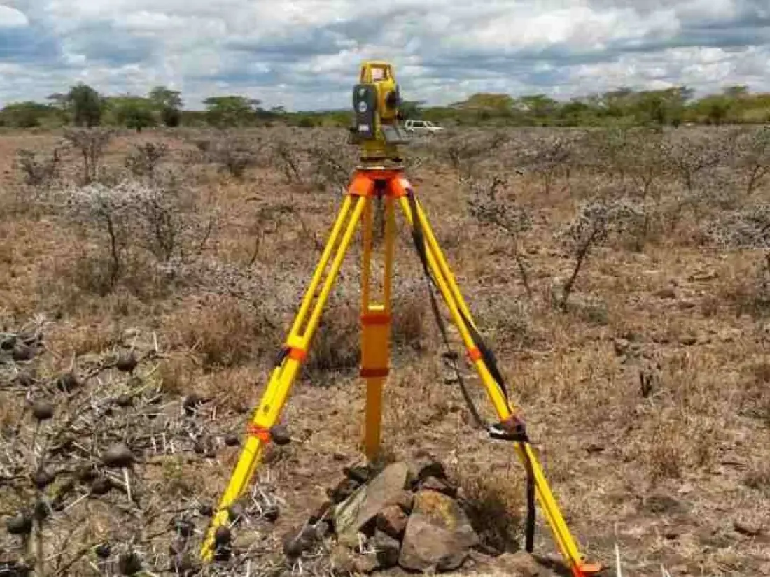 Total station
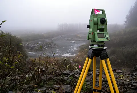 Valley topo survey
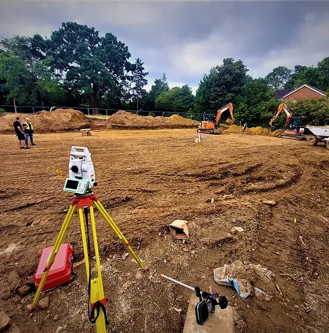 Robotic total station
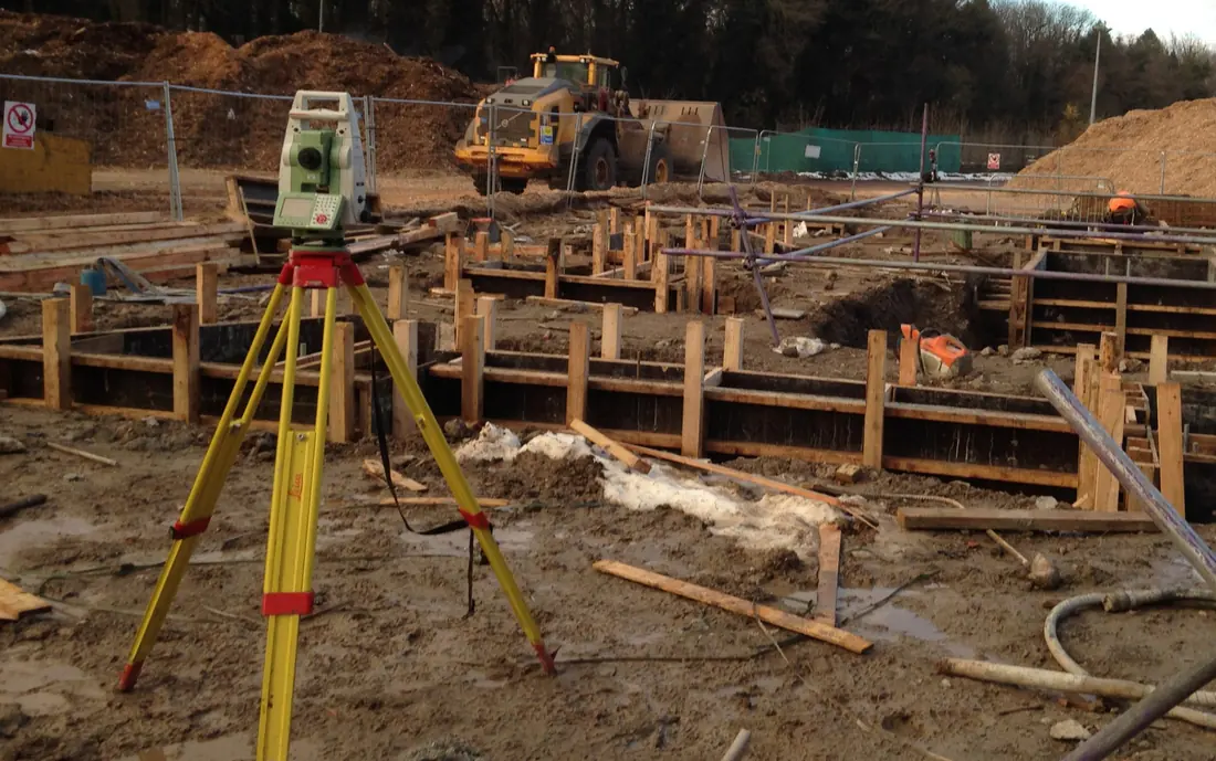 Setting out
 Construction survey
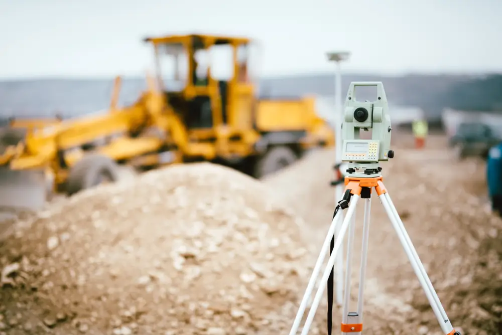 Road works
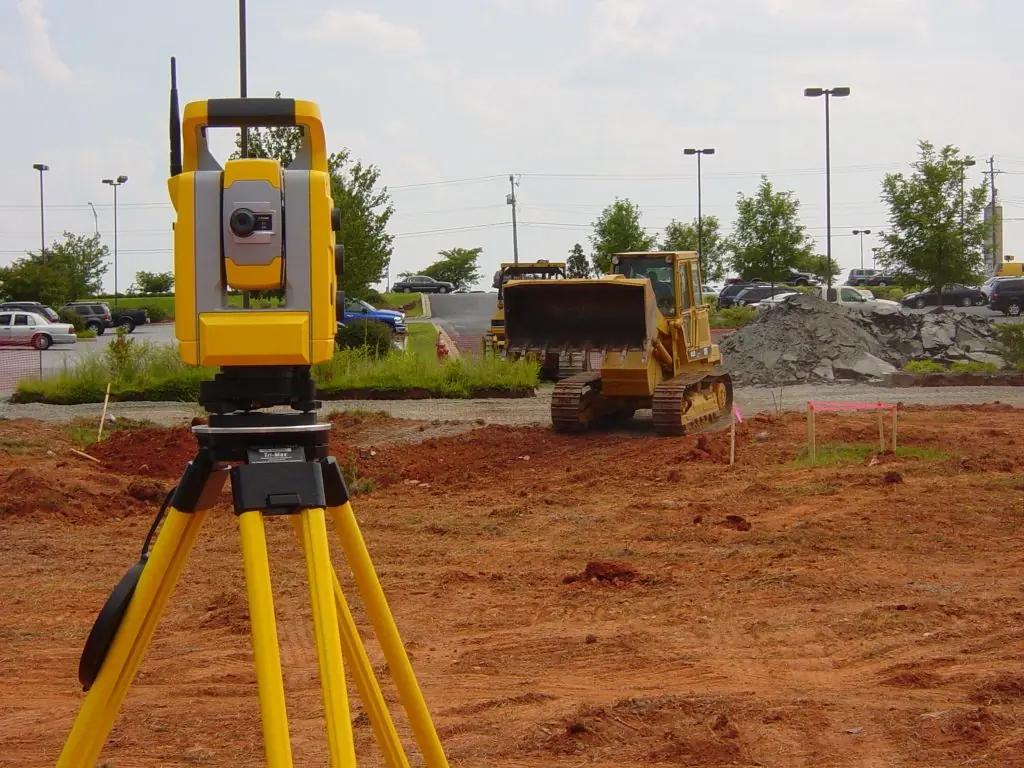 Earthworks
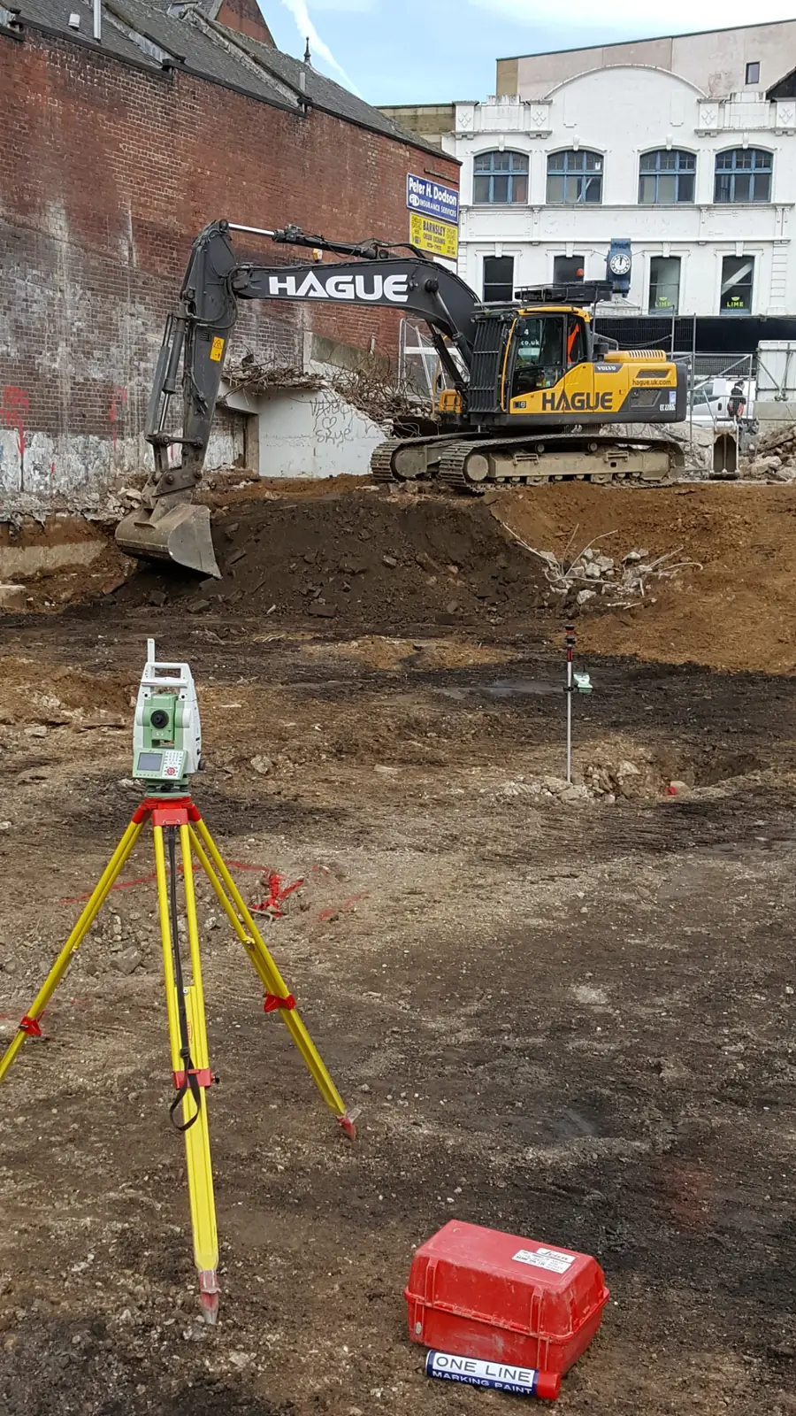 Excavation control
 Utilities · Telecom
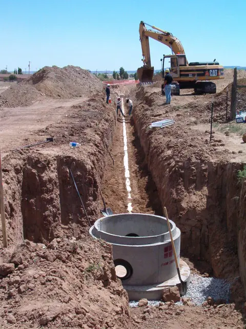 Utilities · Sewer
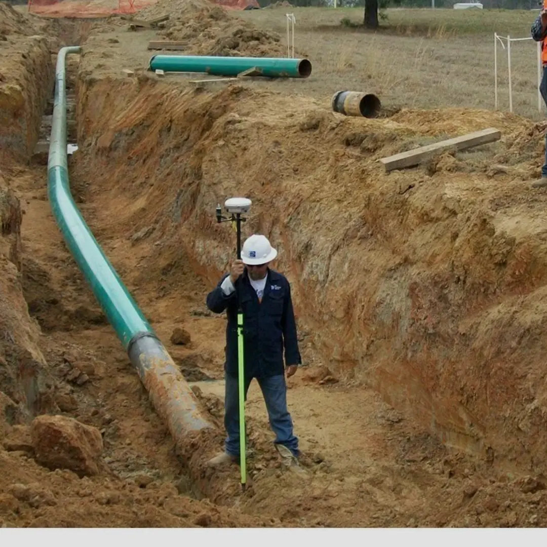 Pipeline as-built
 Structural works
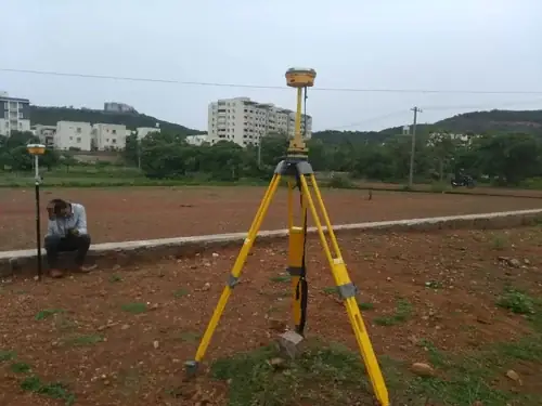 GNSS survey
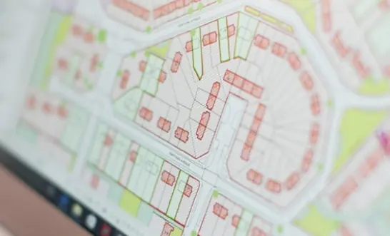 Layout plan
From enquiry to signed survey
Consult
Tell us about your parcel, project and timelines. We advise on the right type of survey.
Research
We review records, maps and existing survey data relevant to your land.
Fieldwork
Our surveyors capture data on site with precise, calibrated instruments.
Deliver
You receive accurate plans, reports and data, with guidance on next steps.
Are Survtech Geomatics registered surveyors?
Yes. Survtech Geomatics Ltd is a Kenyan consultancy of registered and practicing land, GIS and engineering surveyors based in Nairobi.
What land survey services do you offer in Kenya?
We handle land due diligence, land subdivision, re-establishment of land boundaries (both general and fixed), topographical surveys, engineering surveys, GIS mapping and sectional properties surveys.
Where are you located?
Our office is at Greenspot Towers, 4th Floor, along Eastern Bypass, Nairobi, Kenya. We serve clients across Kenya.
How do I book a surveyor?
Call +254 743 733 563, email info@survtechgeomatics.co.ke, or use our contact page to describe your parcel and the survey you need.
Prefer to talk to someone immediately?
Speak to a registered surveyor today.