Greenspot Towers, 4th Floor, Eastern Bypass, Nairobi info@survtechgeomatics.co.ke · +254 743 733 563
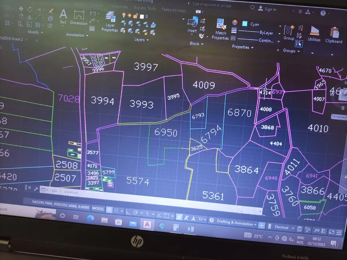
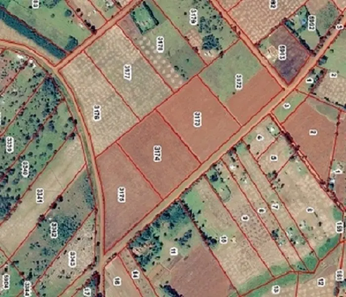
GIS cadastral mapping of land parcels over satellite imagery in Kenya
GIS & Mapping · Nairobi, Kenya

GIS Surveyors In Nairobi, Kenya

GIS and mapping services covering data capture, processing, analysis, output and management, turning location data into decisions.

GIS Companies in Kenya

Survtech Geomatics Limited provides GIS and mapping services from start to finish: data capture, processing, analysis, output and management. We help organisations, developers and landowners understand and use spatial information.

Our GIS services

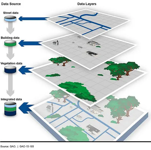
  • Geodatabase developmentDesign, development and management of spatial databases.
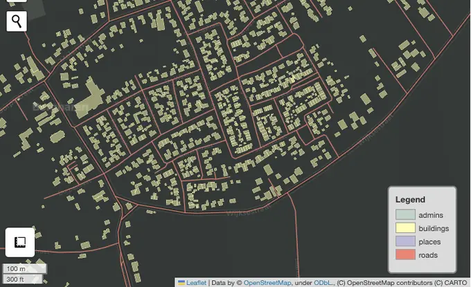
  • GIS mappingThematic, cadastral and planning maps.
  • Aerial photographyDrone mapping and aerial imagery capture.
  • Web mappingInteractive online maps for sharing your data.
  • Satellite image processingImagery analysis and remote sensing.
  • LiDARHigh-density 3D data for terrain and features.
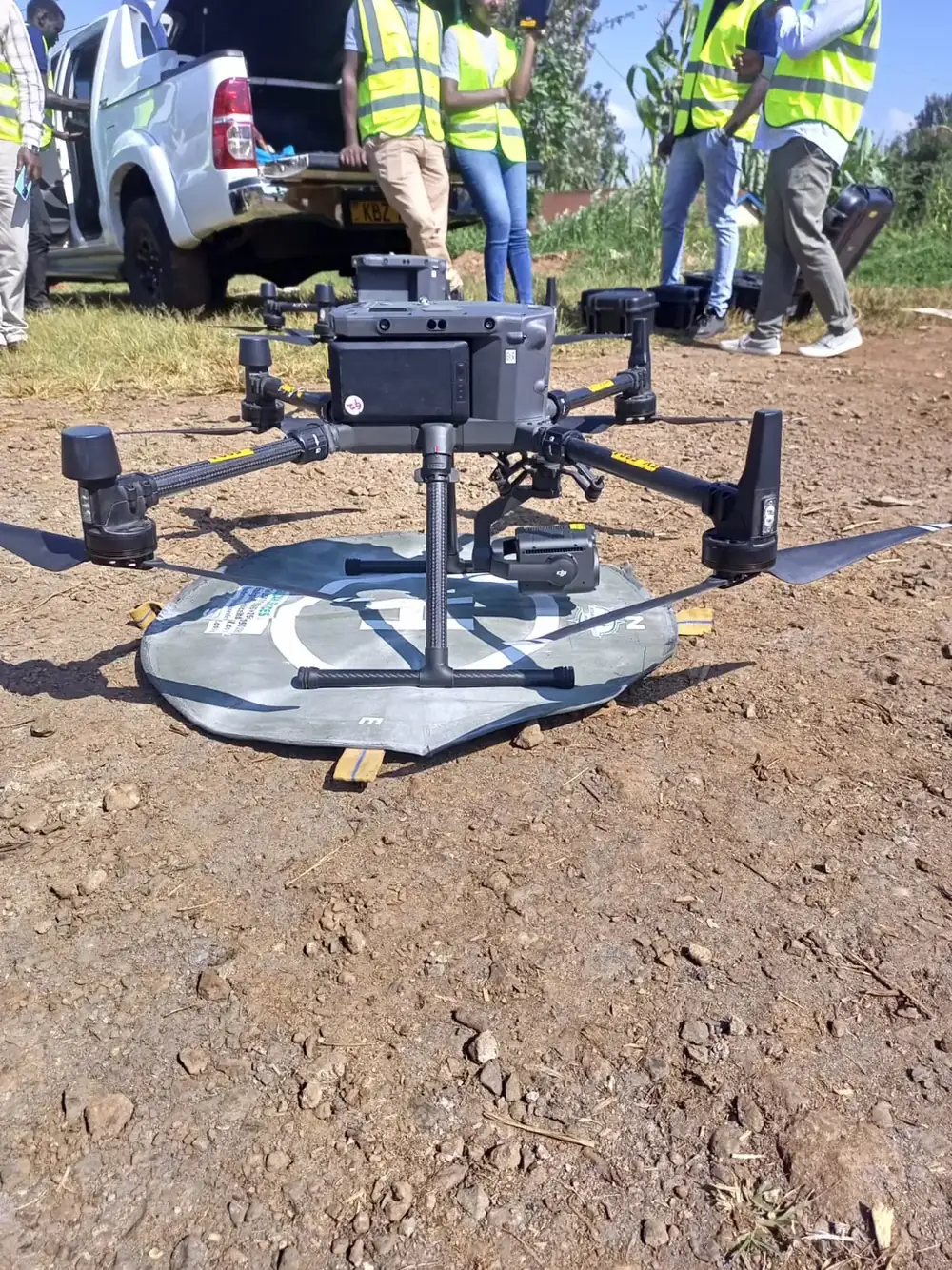
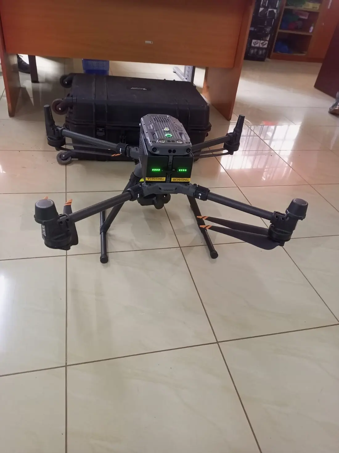
Survtech Geomatics drone ready for an aerial drone mapping survey in Kenya
Drone mapping in the field

From field data to decisions

We combine field survey, drone imagery and satellite data in GIS to produce maps and databases you can trust for land administration, planning, utilities and infrastructure.

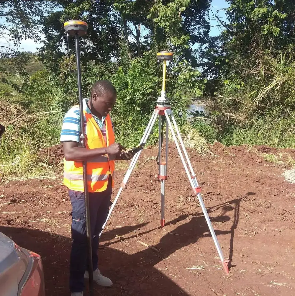
Our GIS work is built on accurate field data from our land surveys, topographical surveys and engineering surveys. Browse examples on our projects page.

Contact us today for a free consultation on your GIS project.
Projects

What we have done so far

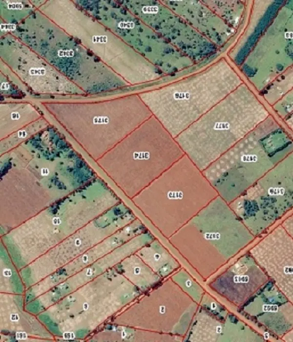
GIS Survey work by our team. See all projects →

FAQ

GIS Survey questions

Can't find your answer? Contact our surveyors.

What GIS services do you offer?

Geodatabase development and management, GIS mapping, aerial photography and drone mapping, web mapping, satellite image processing, remote sensing and LiDAR.

Do you do drone mapping?

Yes. We capture aerial imagery with drones and process it into maps and data for your project.

Can you put our maps online?

Yes. We build web maps so your team and stakeholders can view spatial data in a browser.

Where do you work?

We're based in Nairobi and take on GIS projects across Kenya.

Prefer to talk to someone immediately?

Speak to a registered surveyor today.

Call +254 743 733 563 Get in touch