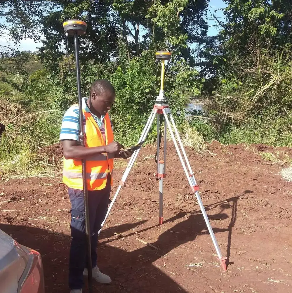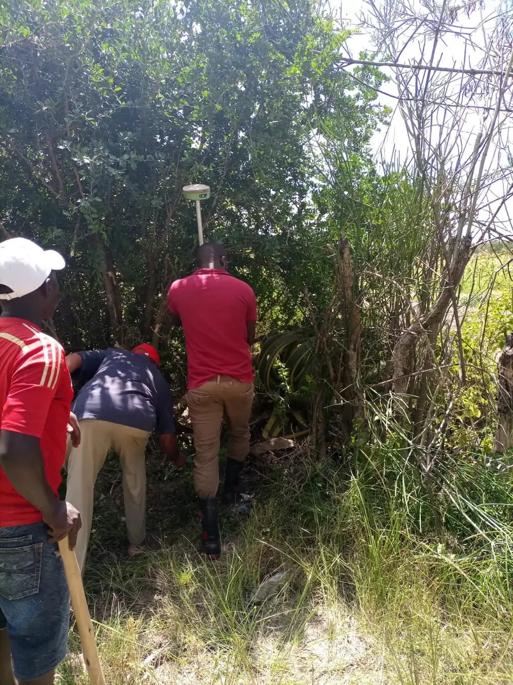
Land Surveyors in Kenya
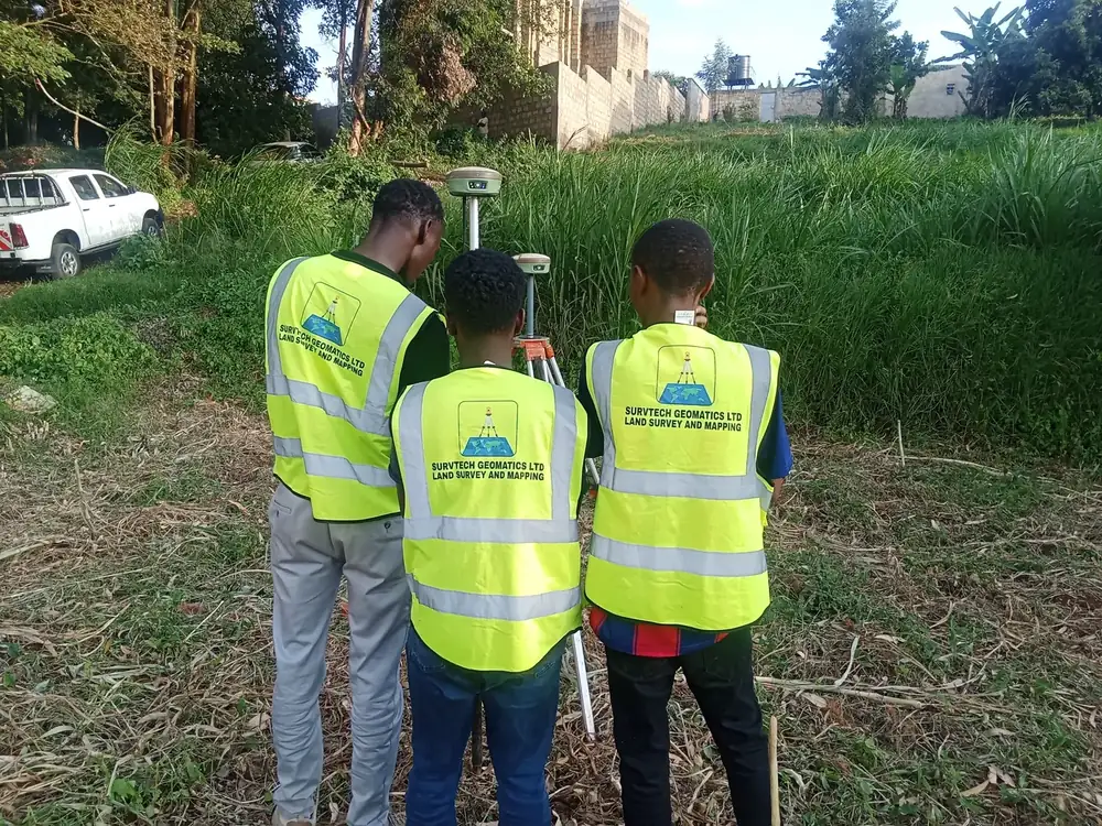
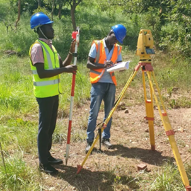
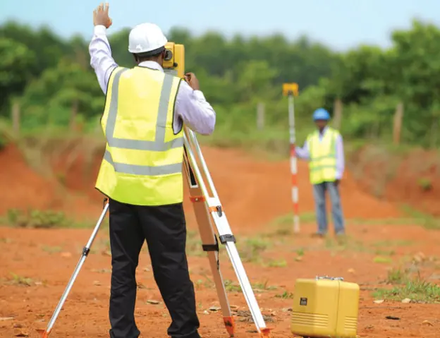
At Survtech Geomatics, we take pride in offering top-tier land surveying services tailored to your specific needs. Whether you're buying land, developing a property or advising a client, our registered land surveyors give you precise and accurate information you can rely on.
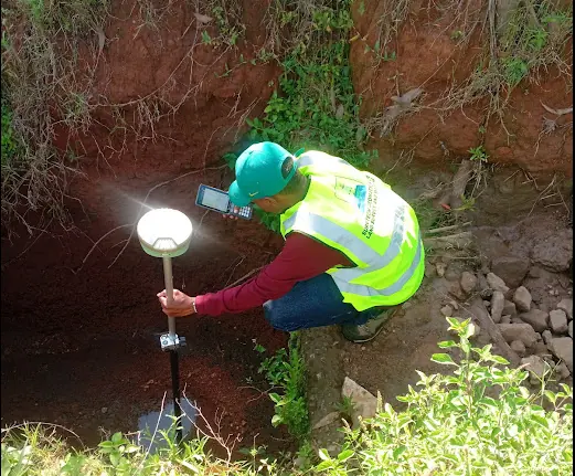
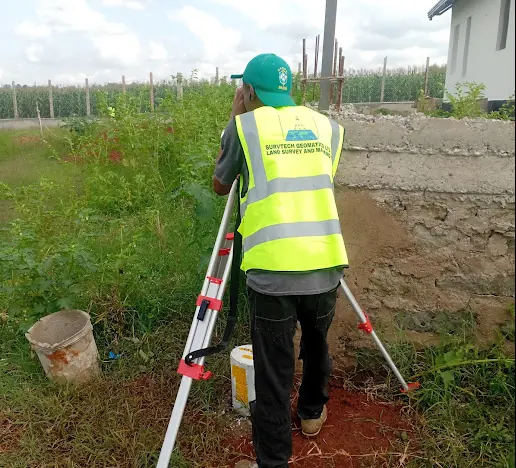
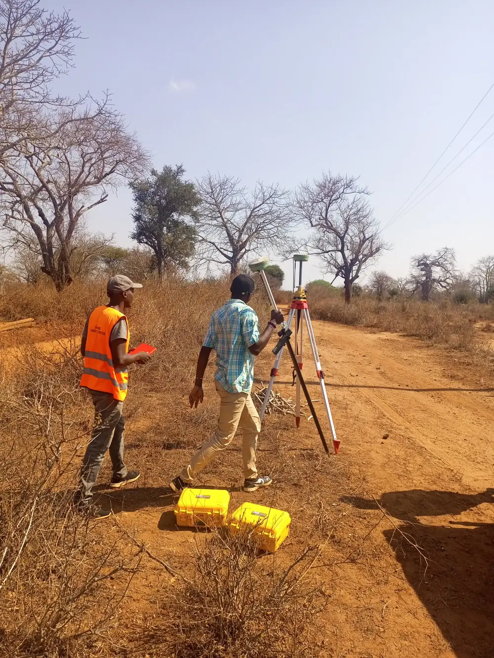
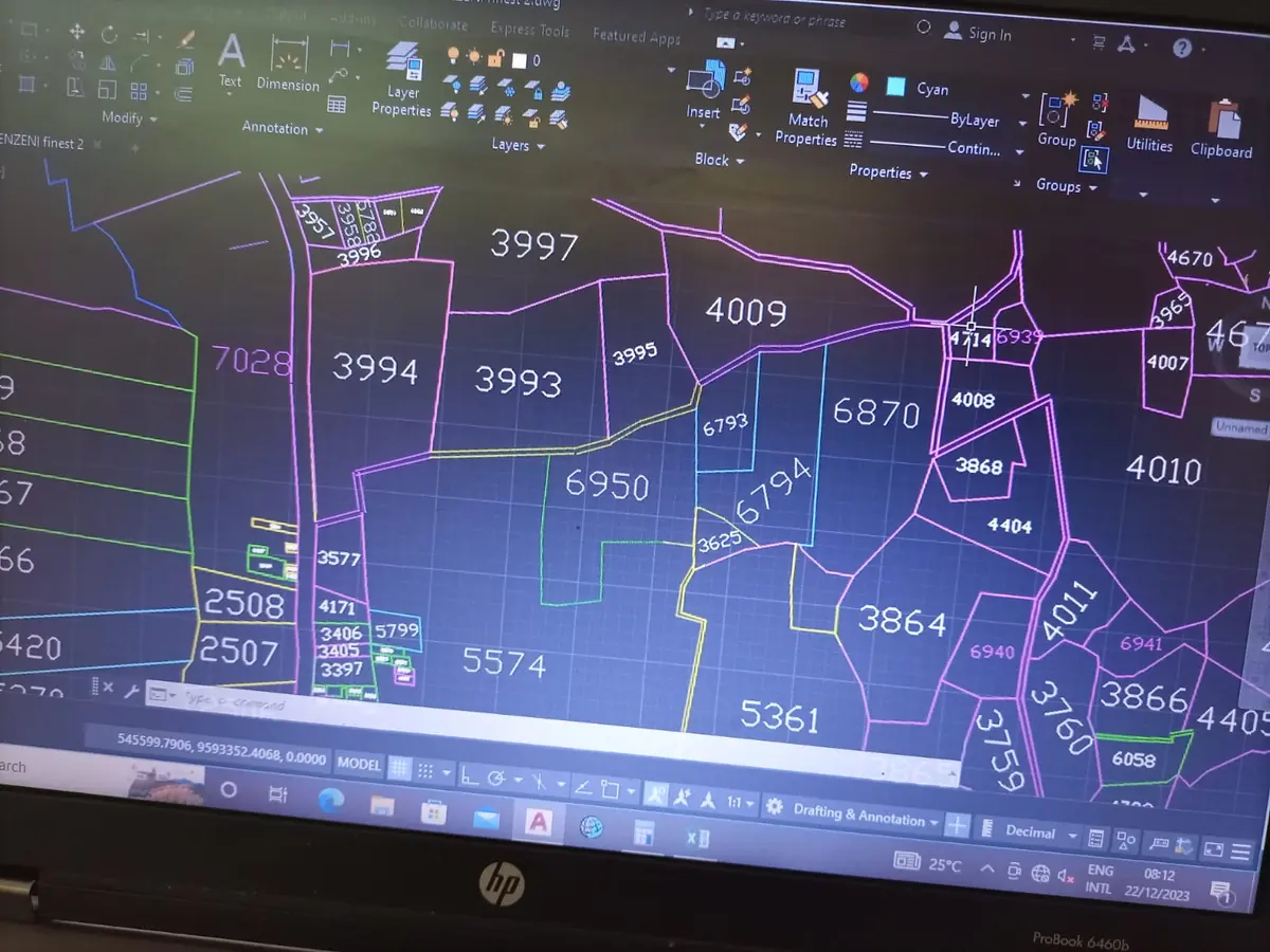
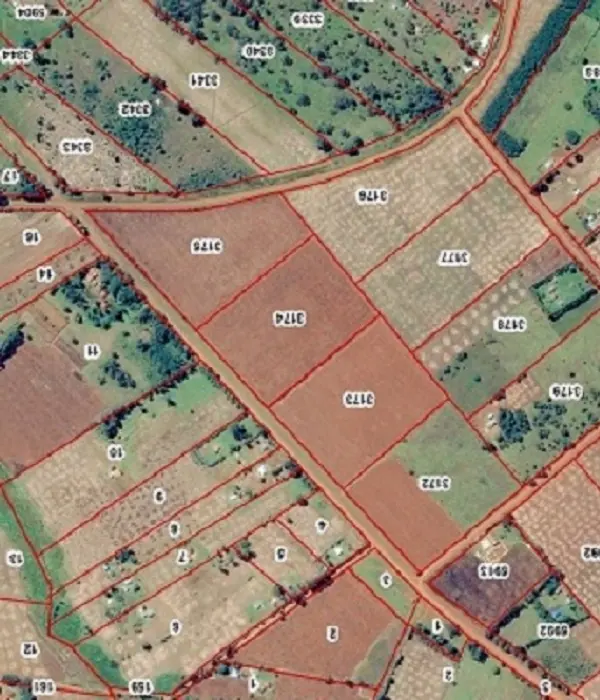
A land survey establishes the boundaries of a property and records the features on and around it, such as buildings, roads, fences, trees, rivers and utility lines, together with their coordinates and attributes. That record protects your investment, settles boundary questions and forms the basis for planning, subdivision and titling.
Our land survey services
- Land due diligenceConfirm beacons, size and position match the title and registry maps before you buy.
- Land subdivisionSubdivision schemes and survey work to split a parcel into new titles.
- Boundary re-establishmentLocate and re-establish boundaries for both general and fixed boundary parcels.
- Beacon search & placementFind existing beacons on the ground and place new ones where required.
- Topographic dataAccurate levels and features for design, planning and construction.
- Boundary disputesIndependent, accurate measurements to help resolve boundary questions.
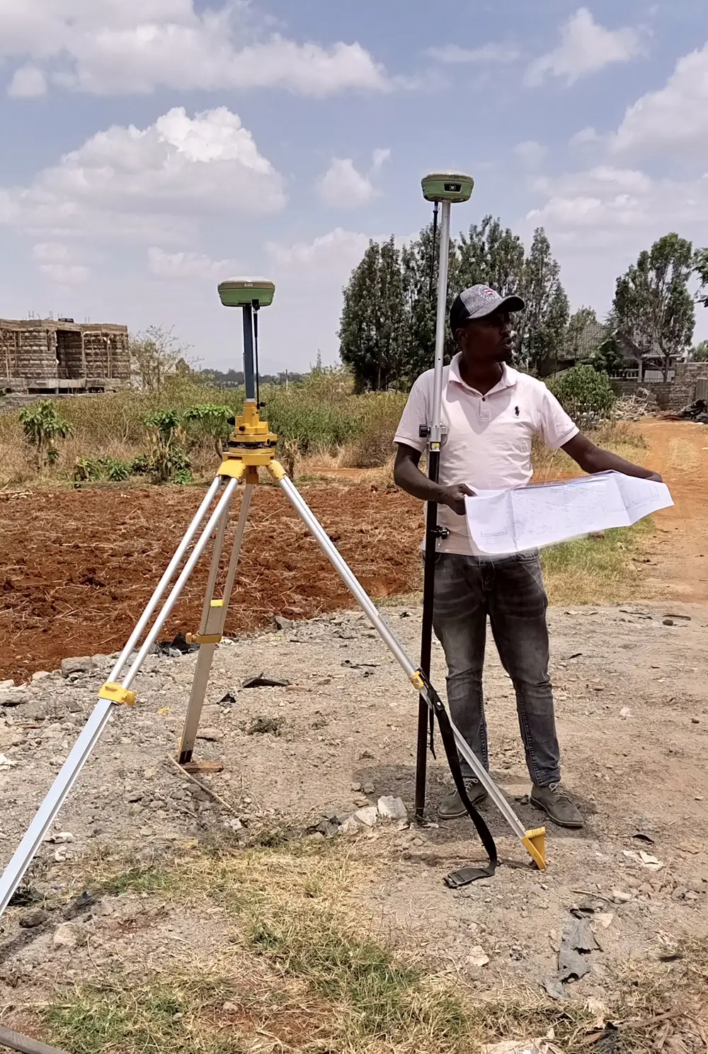
General vs fixed boundaries
Most rural land in Kenya is registered under general boundaries, shown on Registry Index Maps and marked on the ground by features such as hedges, fences or ditches. Fixed boundaries are surveyed precisely, with coordinates and beacons recorded on deed plans. We work with both, and we'll explain what your parcel needs before any fieldwork begins.
Planning to build after buying? Our topographical surveys map levels and features for design, and our engineering surveyors set out your building on site. Developing apartments? See sectional properties surveys.
Contact us today for a free consultation on your land survey.